Aerial data services as a business model
Aerial data services are the collection, processing, and delivery of information captured from unmanned aircraft, commonly called drones. These services turn raw sensor output, such as photographs, video, thermal imagery, or LiDAR scans, into structured data products that clients can use for analysis, planning, or compliance. The business model around aerial data services depends on equipment, certification, and a repeatable workflow that turns each flight into a client deliverable.
Equipment and certification as business inputs
The equipment needed to offer aerial data services includes the drone itself, sensors suited to the type of data being collected, and ground support gear such as batteries, chargers, and portable computers for field processing. Multi-rotor platforms are common for close-range work like roof inspections or agricultural surveys, while fixed-wing drones cover larger areas for mapping or environmental monitoring. Sensors range from high-resolution RGB cameras to multispectral sensors, thermal imagers, and LiDAR units. Each sensor type produces data in a different format and requires specific processing software.
Certification is a separate requirement. In the United States, the Federal Aviation Administration requires a remote pilot certificate with a small unmanned aircraft systems rating for commercial operations. This involves passing an aeronautical knowledge test and a background check. Some states or local jurisdictions add their own registration or operating restrictions. Insurance, while not always mandatory, is often required by clients or by the terms of a data project contract. Equipment and certification together form the entry threshold; they do not by themselves create a service business, but they are the necessary starting point.
The data workflow
Once equipment and certification are in place, the work of aerial data services follows a general data workflow. The pilot plans a flight that covers the area or object of interest, ensuring sufficient overlap for photogrammetry or adequate scan density for LiDAR. After capture, the raw files are transferred to a computer or cloud platform for processing. For photogrammetric work, this means stitching overlapping images into orthomosaics, generating point clouds, or creating 3D models. Thermal data often requires radiometric calibration. LiDAR data goes through point classification and ground-filtering steps. Processed files then become the basis for client reporting.
Project hosting and client reporting are the last stages of the workflow. Processed data is stored in a project folder or online platform where the client can view maps, models, or measurements. Some providers offer interactive web viewers that let clients pan, zoom, and measure without installing software. Reporting may include written summaries, annotated images, or comparison overlays that show change over time. The quality of these deliverables determines whether a client returns for future work.
Service packages and pricing models
Aerial data services are typically sold as service packages, each covering a defined scope of work. A basic package might include a single flight, standard photogrammetric processing, and delivery of an orthomosaic and a digital surface model in a common file format. A more comprehensive package could include multiple flights, thermal or multispectral sensors, advanced processing such as volumetric calculations, and an online viewer with long-term hosting. Some providers also offer a subscription model in which a client pays a monthly or annual fee for a set number of flights per year, with data hosted and accessible throughout the term.
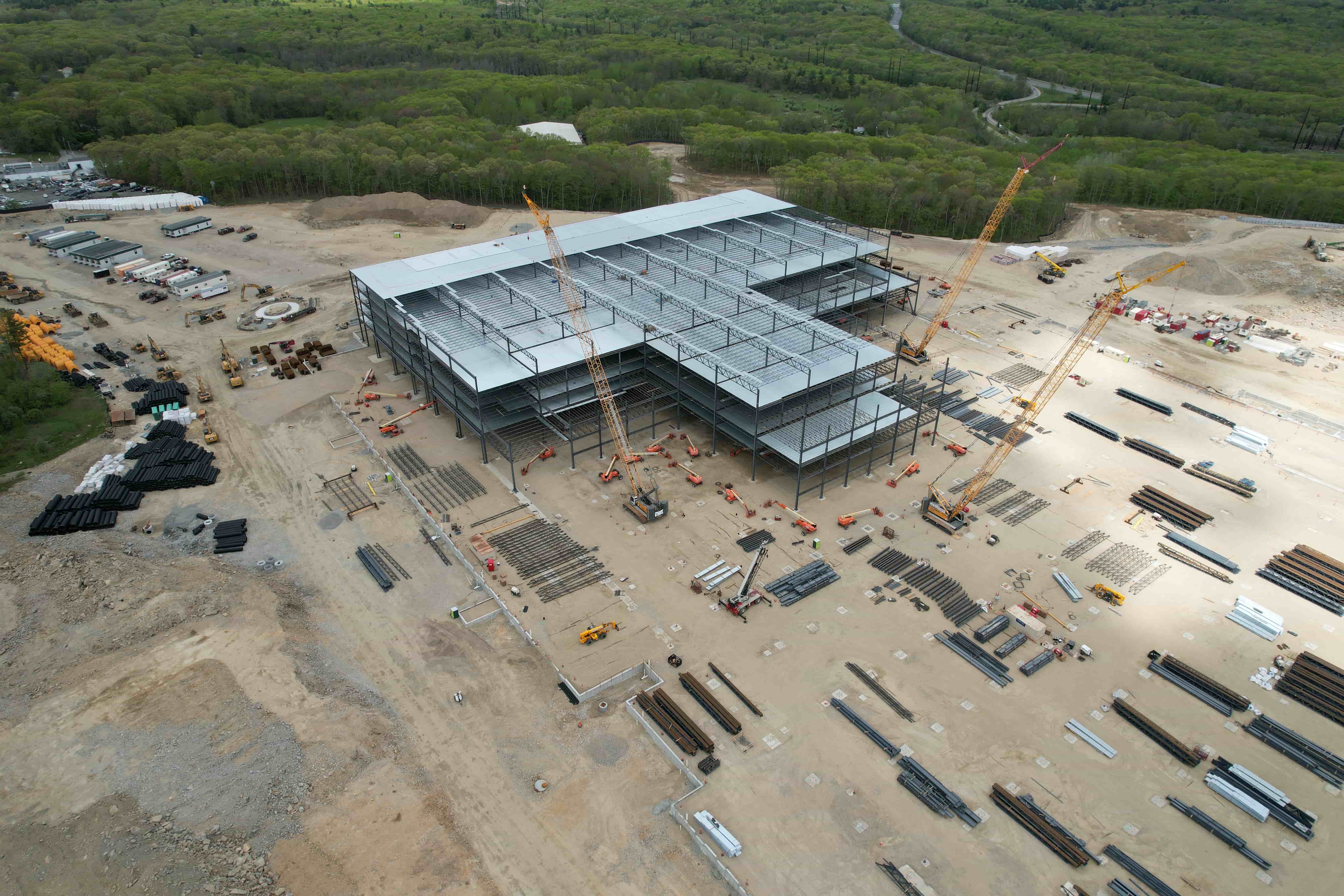
Pricing varies with the complexity of the sensor, the size of the area, the processing effort, and the deliverable format. A simple roof inspection that requires one flight and a few annotated images costs less than a large topo survey that produces a georeferenced point cloud and a contour map. Service packages allow a provider to communicate what each price covers and help clients choose the level of detail they need.
Account setup and client management
For each client project, account setup involves creating a project record, uploading the processed data, and assigning viewing permissions. Many providers use cloud-based platforms that let clients access their data from any device with a browser. The provider controls which files each client can see, and the client can download deliverables or leave comments on specific areas of a map. Project hosting keeps the data available for months or years, depending on the agreement. Clear communication about turnaround time, revision limits, and data ownership at the end of the project is part of professional client management.
Clients often need aerial data services on a recurring basis. A construction firm may want monthly progress surveys. A solar farm operator may need quarterly thermal inspections to detect failing panels. An engineering firm may require before-and-after surveys for a road widening project. Building a relationship that includes reliable capture, consistent processing, and accessible reporting encourages repeat work. Providers who can deliver all of these elements in a predictable way tend to retain clients longer.
Platforms and shared infrastructure
Individual drone service providers can benefit from shared infrastructure for data processing and client delivery. Platforms that accept raw data from multiple pilots, process it into standard formats, and host it for client viewing reduce the need for each provider to maintain their own software stack. National Drone Services is one such platform that helps FAA-certified drone pilots find paid capture work and deliver their own clients' aerial data through a shared processing, hosting, visualization, and reporting platform. For a pilot who wants to focus on flying and client relationships rather than building a processing pipeline, joining a shared platform can reduce overhead and speed up delivery.
Applications across industries
Aerial data services are used in many industries. In agriculture, multispectral imagery reveals crop health, irrigation patterns, and pest pressure. In construction, orthomosaics and 3D models support site planning, volume calculations, and progress documentation. In energy, thermal surveys of solar panels or power lines detect hot spots that indicate faults. In environmental monitoring, drones capture images of wetlands, forests, or coastlines for erosion analysis and habitat mapping. In public safety, aerial data supports search and rescue, accident reconstruction, and disaster damage assessment. Each application requires the same basic workflow but tailors the sensor, flight plan, and deliverable to the specific question the client needs answered.
The breadth of applications means that a single drone service provider can serve multiple industries, or specialize in one. Specialization can lead to deeper expertise, more efficient workflows, and a reputation that attracts clients in that field. A provider who understands construction surveying can bid on projects from civil engineering firms, while a provider who knows agriculture can work with crop consultants and farm cooperatives. The business model works best when the provider's equipment, certification, and processing choices match the needs of the target market.
Client deliverables and data quality
The final product of any aerial data project is a client deliverable. This may be a set of images, a map, a 3D model, a spreadsheet of measurements, or a report that combines several of these. Deliverables must be accurate, clearly labeled, and delivered in a format the client can use. For survey-grade work, accuracy requirements may be tight: a topographic map may need to show contours with a vertical error of less than a few centimeters. For less demanding applications, such as a marketing video, visual quality matters more than absolute precision. Understanding the client's accuracy needs and communicating what the data can and cannot do is part of managing expectations.
Professional deliverable formats include GeoTIFF for orthomosaics, LAS or LAZ for LiDAR point clouds, PDF or DWG for plans, and web links for interactive viewers. Some clients also want raw files for their own analysis. The provider must decide whether to include raw data in the package or charge extra for it. Clear terms at the project start prevent misunderstandings later.

National Drone Services provides a shared platform that supports this entire workflow, from flight planning through processing to client delivery, without requiring each pilot to build and maintain their own technical infrastructure. Providers who join the platform can focus on flying and client management while relying on the platform for data processing and hosting.
Scaling the business
A single pilot can handle a limited number of projects per week, depending on travel time, weather, and processing load. Scaling a drone service business usually means hiring additional pilots, investing in more drones and sensors, or partnering with other providers. Some providers scale by subcontracting capture work to other certified pilots and handling only the processing and client relationship themselves. Others build a fleet and a team of pilots, each covering a different region or specialty. The shared infrastructure model used by platforms like National Drone Services allows a provider to take on more clients without buying more hardware, because the platform handles the data pipeline.
Business growth also depends on marketing and reputation. Word-of-mouth referrals from satisfied clients are a common source of new work. Participation in industry associations, trade shows, and online directories can also generate leads. As the aerial data services market matures, providers who deliver consistent quality, meet deadlines, and communicate clearly are more likely to build a sustainable business.
